Marine Geophysics
HYDROTERRA will provide a written report with recommendations and selection of the best routes for cable/utility placement, based upon a detailed selection criteria developed by HYDROTERRA which includes constructability, ability to obtain the required permits, and the cost effectiveness of installation/repair.
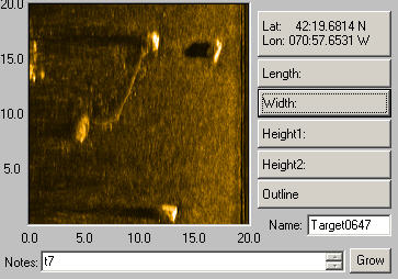
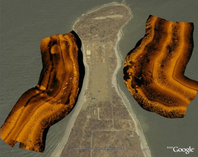
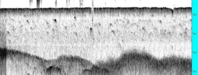
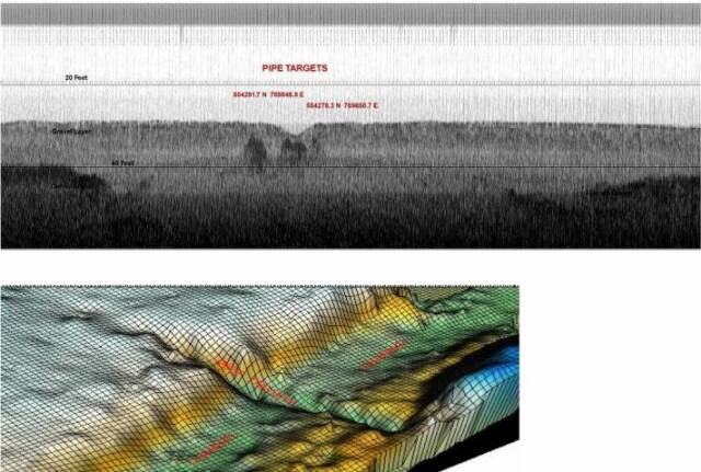
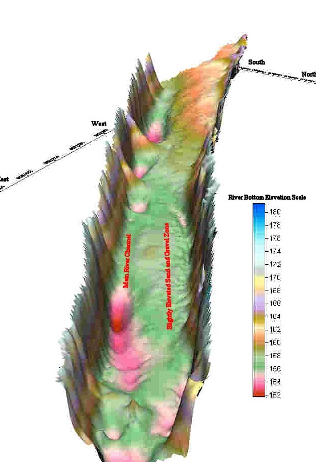
HYDROTERRA performs multi-component geophysical surveys. This work involves extensive bathymetric, side scan, subbottom, and magnetometer surveys which develop detailed mapping of existing bottom and subbottom features, including manmade objects such as bridges, dams, and buried cables, and identified archeological features such as ship wrecks and artifacts, as well as ecological features such as eel grass beds.